
Keyword
Earth Science | Oceans | Coastal Processes | Sediment Transport
3 record(s)
Type of resources
Topics
Keywords
Contact for the resource
Provided by
Formats
Update frequencies
Status
draft
-
Presentation Abstract: Submerged sand banks in the northwest of Torres Strait typically have smaller dunes superimposed upon them. Survey work undertaken as part of the Torres Strait CRC measured the rates of sand dune migration on these banks in an effort to gauge their potential impact on local seagrass communities. Marine surveys at the end of the monsoon and trade wind seasons measured very similar hydrodynamic conditions but substantially different patterns of dune migration. At the end of the monsoon season migration rates of up to 17 meters were measured over a 14 day period, at the end of the trade wind season migration rates of up to 4 meters were measured over a similar time period. Wind data acquired for the two weeks before and during the monsoon season survey indicated the onset of the trade wind season during this time. As a result, the elevated levels of dune migration observed at the end monsoon season are probably the result of wind driven-currents, changing from predominantly eastwards during the monsoon season to predominantly westwards with the onset of the trade wind season. Dunes that were influenced by wind-driven currents during the monsoon season were east facing at the start of the trade wind season but these dunes then became hydrodynamically unstable under the influence of the westward-directed wind-driven currents and experienced accelerated levels of migration to the west. By comparison, the lower rates of sand dune migration observed during the trade wind season survey are considered to be representative of dunes that are hydrodynamically stable. The main conclusions from this research are that the dunes in the study area have been observed to move rapidly in response to seasonal changes in hydrodynamics however the typical rates of dune migration suggest that only seagrass communities in close proximity to the sandbanks are likely to be threatened by dune migration.
-
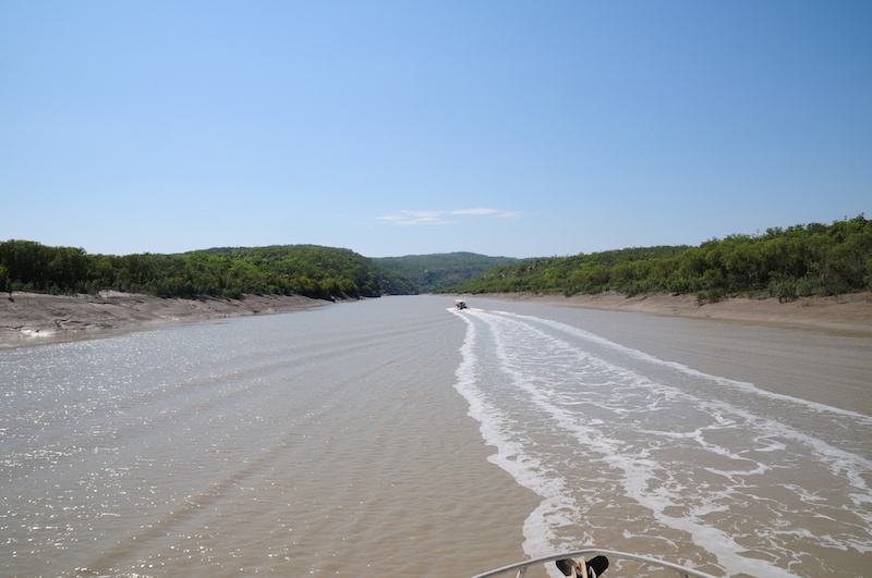
These data are the result of Geoscience Australia survey 266 to the central Torres Strait region, with the survey being the first of two by Geoscience Australia carried out in 2004. They form part of a larger field-based program managed by the Torres Strait CRC aimed at identifying and quantifying the principal physical and biological processes operating in Torres Strait. The impetus for the program is the threat of widespread seagrass dieback and its effects on local dugong and turtle populations and the implications for indigenous islander communities. The principal aim of the survey was to investigate the seabed geomorphology and sedimentary processes in the vicinity of Turnagain Island and to infer the possible effects (if any) on the distribution, abundance and survival of seagrasses. The Turnagain Island region was chosen because it is a known site of recent widespread seagrass dieback. The survey consisted of a detailed geophysical survey using swath (multi-beam) sonar and shallow seismic equipment that was supplemented with a detailed sampling program consisting of 301 near-bed water samples, 54 seabed grabs, 5 vibrocores and 69 camera stations. Four oceanographic moorings were also deployed for the duration of the survey to measure the local tide, wave and wind-driven currents. A regional survey was initially undertaken, followed by a detailed study of two areas: Area A - located approximately 2.5 km SW of Turnagain Island which contained sand ridges and seagrass beds, and Area B - located approximately 2.0 km SE of Turnagain Island which contained sandwaves and no seagrass beds. In a new application of the swath (multi-beam) data, the total volume of sediment transported during the survey was estimated from changes in the high-resolution seabed bathymetry collected during the repeat surveys. Preliminary results of the study found that seagrasses in the region are subject to frequent and significant changes in environmental conditions, with implications for limited dispersal and survival. A follow-up survey was undertaken in October 2004.
-
Terrestrial landscapes and coastal marine environments are linked by the rivers that flow between them. This is particularly true in the Kimberley, where each year large amounts of freshwater enter coastal waters. This project aimed to understand how dissolved and particulate material from freshwater systems in the Kimberley are transported by the tides and currents into the coastal marine environment and whether these exports from land play a role in coastal productivity. The project linked closely with WAMSI 2 KMRP projects 2.2.1 and 2.2.2 to better understand how freshwater discharge influences marine food web structure and sustains the productivity of Kimberley inshore ecosystems. Oceanographic and biogeochemical data was collected over two field campaigns (October/November 2013 and April/May 2014) from the Walcott Inlet, Collier Bay area (16° 22.624’S 124° 26.235’E to 16° 24.487’S 124° 54.035’E) and models integrated with those for Collier Bay (KMRP Project 2.2.2). The hydrology component focussed on catchments flowing into Walcott Inlet and Collier Bay, but climate projections and stream flow data analysed for whole of Kimberley. Chemical data to apportion sources of organic matter was also collected. This data was used to support development of the biogeochemical model. No primary data was collected in the hydrology component, but major data sets were collated, including data from 88 streamflow gauging stations managed by the Department of Water. A coupled physical-biogeochemical model and a catchment carbon export model was developed to understand the link between exported material and coastal productivity and has been an important component of the research project as it has allowed estimates of freshwater flow under current and future climate scenarios and an estimate of export of nutrients (carbon and nitrogen) and the forms in which they exist. Historical data used from 1961 to 2012 was used for calibration of the model, and future simulations were run for the period 2013 – 2064. This metadata record only relates to data either collected or generated by CSIRO. For data held by other project partners, please refer to the ‘supplementary information’ section.